Slick conditions are possible Saturday afternoon as the Kansas City area braces to see its first measurable snowfall of the season. First Alert Meteorologist Katie Horner says the amount of snow you get will vary greatly depending on where you live, and our dewpoint. Regardless, expect some sort of weather impact starting Saturday afternoon. The area will see rain first before changing over to snow late in the afternoon or early into the evening, potentially around 5 p.m. for the core Kansas City metro. The system will move out of the Kansas City area in the early hours of Sunday morning, but it may leave slick roads behind. Snowfall totals will likely be greater in northeastern Kansas and northwestern Missouri. (Doesn't it always seem to work that way?)Areas from Topeka, Kansas, to Maryville, Missouri, can see up to two to four inches. From the Kansas City metro area over to Ottawa and Chillicothe, you can expect to see anywhere between half an inch to two inches. East of that line may see only rain or a dusting. If you're heading into Kansas, Colorado, or Nebraska, make sure to have plans to stay safe as areas west and north of the metro will bear the brunt of this winter storm. Remember that elevated roads and bridges freeze first, and take it easy on the roadways if you're headed out any time between Saturday afternoon and mid-morning Sunday.
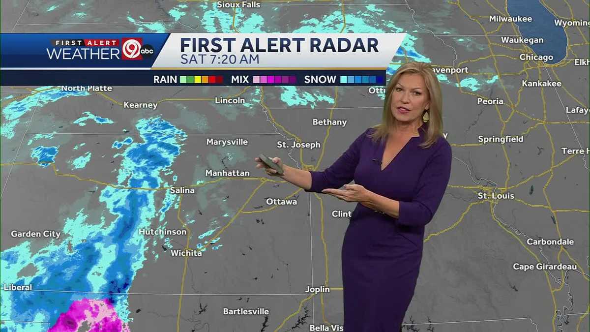
Slick conditions are possible Saturday afternoon as the Kansas City area braces to see its first measurable snowfall of the season.
First Alert Meteorologist Katie Horner says the amount of snow you get will vary greatly depending on where you live, and our dewpoint.
Regardless, expect some sort of weather impact starting Saturday afternoon. The area will see rain first before changing over to snow late in the afternoon or early into the evening, potentially around 5 p.m. for the core Kansas City metro. The system will move out of the Kansas City area in the early hours of Sunday morning, but it may leave slick roads behind.
Snowfall totals will likely be greater in northeastern Kansas and northwestern Missouri. (Doesn't it always seem to work that way?)
Areas from Topeka, Kansas, to Maryville, Missouri, can see up to two to four inches.
From the Kansas City metro area over to Ottawa and Chillicothe, you can expect to see anywhere between half an inch to two inches. East of that line may see only rain or a dusting.
If you're heading into Kansas, Colorado, or Nebraska, make sure to have plans to stay safe as areas west and north of the metro will bear the brunt of this winter storm.
Remember that elevated roads and bridges freeze first, and take it easy on the roadways if you're headed out any time between Saturday afternoon and mid-morning Sunday.
from U.S. - Latest - Google News https://ift.tt/4Xecy3V
via IFTTT

Tidak ada komentar:
Posting Komentar